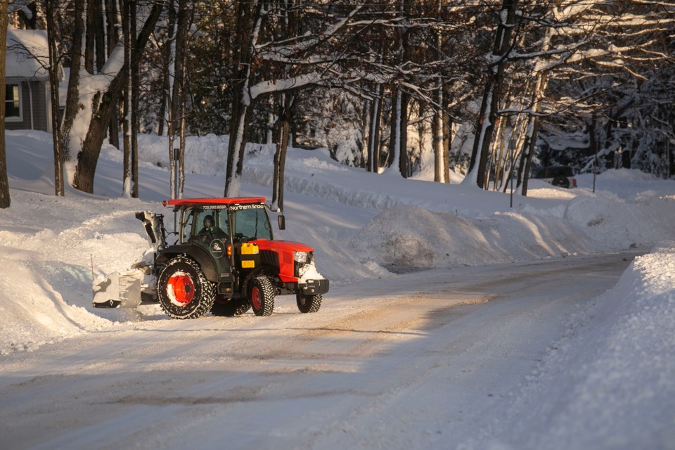
More snow is on the way.
A snow squall watch is in effect for the northeastern shoreline of Lake Superior and beyond, from the Terrace Bay area to almost North Bay, including Sault Ste. Marie.
Environment Canada says the lake effect snow squalls are expected to move north into the area Tuesday morning.
“These snow squalls may move through quickly, producing a brief blast of heavy snow and near zero visibilities, but snowfall amounts may not be significant,” the weather advisory said. “However, these snow squalls will lock in place Tuesday evening as a low pressure system moves across Lake Superior, enhancing snowfall amounts.”
“Snow squalls will then sweep south on Wednesday, moving out of the area Wednesday night.”
The heaviest snowfall is expected Tuesday night, with peak rates of 2 to 5 cm per hour.
Environment Canada says that heavy, wet snow could cause power outages and disrupt travel.
“Consider postponing non-essential travel until conditions improve,” it recommends.
Find Environment Canada's full weather advisory below:
Snow squall watch issued for:
Sault Ste. Marie - Superior East, Ont. (048800)
Current details:
Snow squalls expected Tuesday and Wednesday.
Hazards:
Locally heavy snowfall with accumulations near 30 cm.
Peak snowfall rates of 2 to 5 cm per hour.
Very poor visibility at times in heavy snow.
Power outages possible due to the heavy wet nature of the snow.
Timing:
Tuesday morning through Wednesday night, with the heaviest snowfall expected Tuesday night.
Discussion:
Lake effect snow squalls off Lake Superior will move north into the area Tuesday morning. These snow squalls may move through quickly, producing a brief blast of heavy snow and near zero visibilities, but snowfall amounts may not be significant. However, these snow squalls will lock in place Tuesday evening as a low pressure system moves across Lake Superior, enhancing snowfall amounts. Snow squalls will then sweep south on Wednesday, moving out of the area Wednesday night.
Snow squalls cause weather conditions to vary considerably; changes from clear skies to heavy snow within just a few kilometres are common. Road closures are possible.
Consider postponing non-essential travel until conditions improve. If you must travel, keep others informed of your schedule and destination and carry an emergency kit and mobile phone. Public Safety Canada encourages everyone to make an emergency plan and get an emergency kit with drinking water, food, medicine, a first-aid kit and a flashlight. For information on emergency plans and kits go to https://www.getprepared.gc.ca/.
Please continue to monitor alerts and forecasts issued by Environment Canada. To report severe weather, send an email to ONstorm@ec.gc.ca or tweet reports using #ONStorm.
More details on the alert are available here.
