NEWS RELEASE
MINISTRY OF NATURAL RESOURCES
*************************
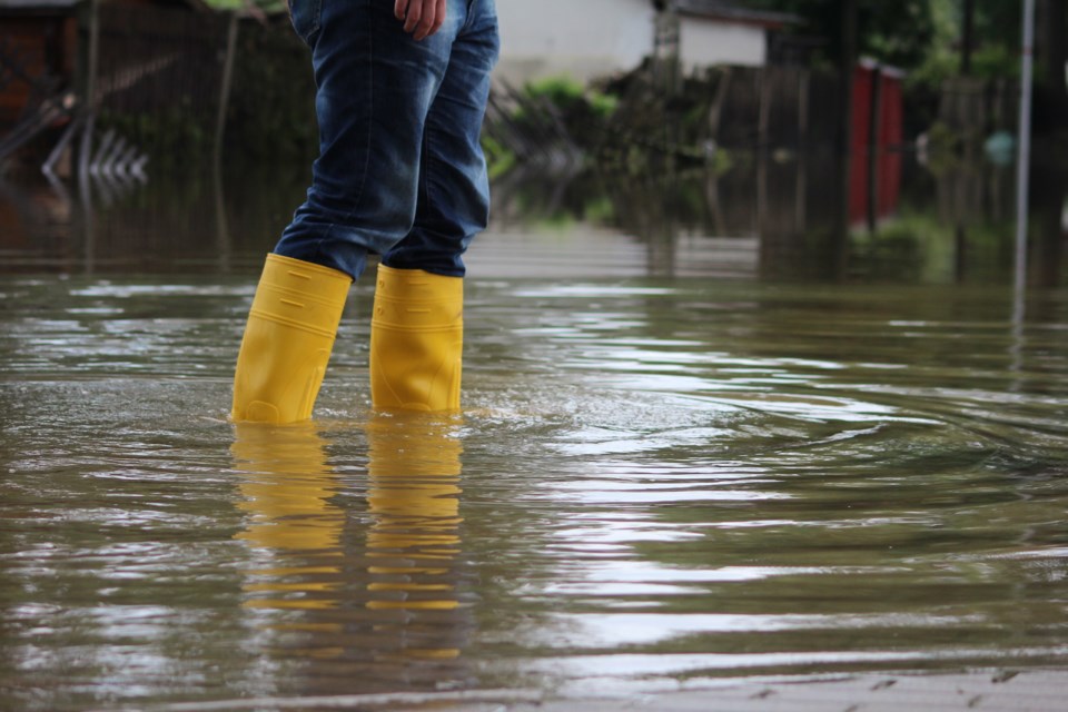
The Ministry of Natural Resources – Sault Ste. Marie/Blind River district is advising area residents that a Flood Watch is in effect in the district until Tuesday, April 22 at noon.
Residents throughout the district, especially those located in the Goulais River watershed area, should keep a close watch on water conditions, and stay away from fast-moving rivers and streams. Residents within the Goulais River watershed are advised that river conditions should be monitored closely as water levels can change very quickly with runoff from the recent melting and rainfall events.
The Ministry is closely monitoring the weather and developing watershed conditions. Further updates will be issued as appropriate.
Description of Weather System
Unsettled weather conditions will persist today, accompanied by intermittent rain showers. Daytime temperatures are expected to reach a high of 8 C. Cooler temperatures will prevail over the next two days, followed by a warming trend. Daytime temperatures will rise to 7 C, with nighttime temperatures hovering near zero. This pattern will contribute to ongoing melting and runoff.
Description of Current Conditions
Water levels and stream flows across the region are elevated from spring snow melt and recent precipitation events. The depth of snowpack throughout the District remains high especially in areas lying north of Searchmont and Goulais River. Snowpack measurements indicate depths of approximately 95cm, with an average water equivalent exceeding 200mm in the northern portion of the watershed. These levels are above the long-term average, increasing the likelihood of above normal runoff due to forecasted temperature and precipitation.
Forecasted warm temperatures and precipitation will accelerate the melting of the snowpack producing additional runoff and increasing levels and flows.
Currently water levels and flows for the Goulais River are below flood critical threshold parameters but currently rising. Risks may include fast moving frigid water with rapidly changing conditions. Localized flooding in low lying areas with a history of flooding are a possibility. A close watch on local forecasts and conditions is recommended.
*************************