WEATHER ALERT
ENVIRONMENT CANADA
*************************
Snow squall warning in effect for:
- Sault Ste. Marie - St. Joseph Island
- Greater Sudbury and vicinity
- Elliot Lake - Ranger Lake
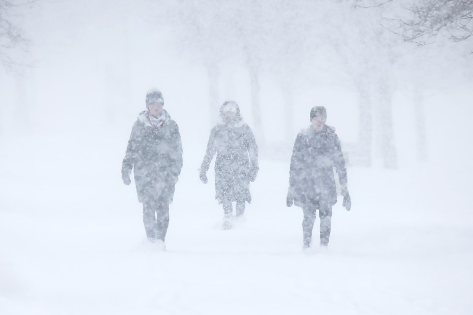
Brief, intense snowfall is expected. Visibilities will be rapidly reduced due to the heavy snow combined with blowing snow.
A sharp cold front moving from north to south will bring a frontal snow squall to the region over the next few hours.
Brief whiteout conditions and wind gusts to 70 km/h are likely.
Visibility may be significantly and suddenly reduced to near zero.
Prepare for quickly changing and deteriorating travel conditions.
Please continue to monitor alerts and forecasts issued by Environment Canada. To report severe weather, send an email to ONstorm@ec.gc.ca or tweet reports using #ONStorm.
*************************