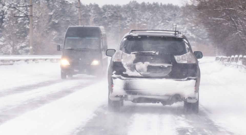
Lake effect snow off Lake Superior is expected to make travel hazardous in our area.
Environment Canada has issued a winter weather travel advisory for Sault Ste. Marie and St. Joseph Island.
Between 5 to 15 cm of heavy snow is expected to fall tonight and Tuesday.
"Westerly winds gusting up to 50 km/h may develop tonight and could result in significantly reduced visibility in blowing snow," said the weather advisory.
"Motorists should expect hazardous winter driving conditions and adjust travel plans accordingly."
Conditions are expected to be worse north of the city where Environment Canada has issued a snow squall warning for areas including Batchawana Bay, Searchmont and Montreal River Harbour.
It says heavy lake effect snow off of Lake Superior could drop between 15 to 30 cm tonight and Tuesday before moving northward Tuesday evening.
North of Montreal River Harbour -- including Agawa, Lake Superior Park, Wawa - Pukaskwa Park -- a snow squall watch remains in effect.
Snow squalls are possible in those areas Tuesday afternoon into Wednesday.