WEATHER ALERT
ENVIRONMENT CANADA
*************************
Winter storm warning issued for:
Searchmont - Montreal River Harbour - Batchawana Bay
Elliot Lake - Ranger Lake
Current details:
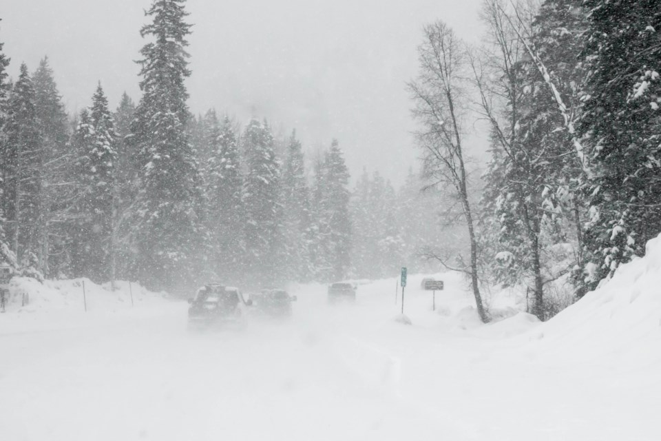
Winter storm expected Sunday into Monday morning.
What:
Freezing rain with significant ice accretion of 5 to 10 mm.
Utility outages possible.
Slippery surfaces and broken tree branches from ice build-up.
Snowfall amounts near 15 cm. Locations south of a line from Ranger Lake to Temagami may receive considerably lesser amounts.
When:
Late overnight or early Sunday morning through Monday morning.
Additional information:
Precipitation may begin as snow or ice pellets before changing to freezing rain. Freezing rain is expected to be most significant for locations south of a line from Ranger Lake to Temagami. As a result, snowfall accumulations are expected to be considerably lesser in these areas. Precipitation will transition to ice pellets and then snow from west to east late Sunday night into Monday morning.
Conditions will improve through Monday morning as the weather system exits the province.
Surfaces such as highways, roads, walkways and parking lots will become icy, slippery and hazardous. Ice build-up may cause tree branches to break.
Consider postponing non-essential travel until conditions improve. Prepare for quickly changing and deteriorating travel conditions.
Please continue to monitor alerts and forecasts issued by Environment Canada. To report severe weather, send an email to ONstorm@ec.gc.ca or post reports on X using #ONStorm.
*************************