WEATHER ALERT
ENVIRONMENT CANADA
*************************
Special weather statement issued for:
- Sault Ste. Marie - St. Joseph Island
- Greater Sudbury and vicinity
- Manitoulin - Blind River - Killarney
- Wawa - White River - Pukaskwa
- Agawa - Lake Superior Park
- Searchmont - Montreal River Harbour - Batchawana Bay
- Elliot Lake - Ranger Lake
- Kapuskasing - Hearst - Smooth Rock Falls
- Timmins - Cochrane - Iroquois Falls
- Chapleau - Gogama
- Kirkland Lake - Temiskaming Shores - Temagami
- North Bay - West Nipissing
Current details:
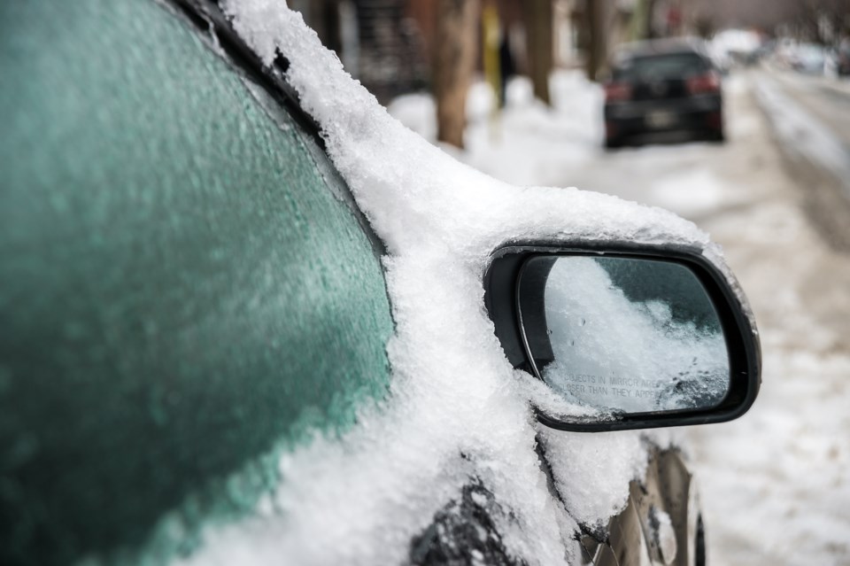
Freezing rain expected midweek.
What:
Freezing rain with ice accretion of 2 to 5 mm on some surfaces.
Surfaces such as highways, roads, walkways and parking lots may become icy, slippery and hazardous.
Ice build-up may cause tree branches to break.
When:
Wednesday morning through Thursday morning.
Additional information:
Precipitation will begin as snow before transitioning to ice pellets and then freezing rain. The precipitation will begin for Sault Ste. Marie and along the North Channel Wednesday morning before reaching the Highway 11 corridor later Wednesday afternoon. Prior to the transition to freezing rain, snowfall amounts up to 10 cm may occur over some locations, particularly northeast of Lake Superior to the Ontario-Quebec border.
Easterly winds gusting to near 50 km/h, except up to 70 km/h for locations near to the North Channel to Sault Ste. Marie on Wednesday may exacerbate any tree damage.
As temperatures rise above the freezing mark Wednesday night into Thursday morning, precipitation is expected to change over to rain for southern parts of northeastern Ontario.
Freezing rain warnings will likely be required as the event draws nearer.
Please continue to monitor alerts and forecasts issued by Environment Canada. To report severe weather, send an email to ONstorm@ec.gc.ca or post reports on X using #ONStorm.
*************************
