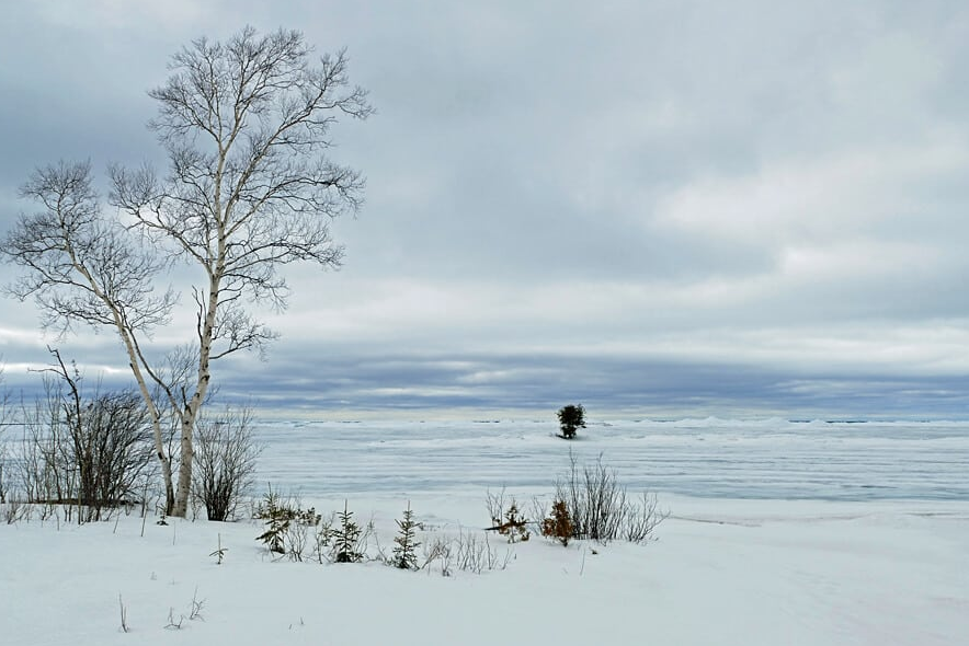
THUNDER BAY — After a slow start for ice formation this season, the recent cold spell caused a dramatic increase in Lake Superior's ice cover.
Environment Canada reports that, as of Tuesday, about 35 per cent of the lake was frozen over, compared with the historic average of only 23 per cent for this time of year.
The department's senior ice forecaster, Brad Drummond, says this is in sharp contrast to January, when the ice coverage was below normal due to a protracted spell of unseasonably mild weather.
"We actually had a very large jump. Last week were at just 10 per cent ice coverage, and the [long-term average] was still around 23. It's pretty significant over the past week," Drummond said in an interview Wednesday.
Environment Canada and its U.S. counterparts also track ice depth on Lake Superior.
As might be expected, it's thickest in sheltered areas such as Nipigon Bay, Black Bay and the northeast part of Thunder Bay where ice forms sooner than on the rest of the lake.
"We are above 30 centimetres. But the mobile ice, kind of between Thunder Bay and Isle Royale, would be likely less than 15 centimetres," Drummond said
About a month from now, when preparations began for the new shipping season, he expects the ice won't be as widespread as it usually is.
"Since it was a later start to the season, the ice isn't going to be quite as thick as it typically would be as well," Drummond said, meaning icebreakers will have an easier time clearing channels.
He noted that by the beginning of next week, temperatures in Thunder Bay are forecast to be well above normal, with daily maximums climbing above the freezing point.
There's been broad variability in Lake Superior's ice coverage in recent years.
Drummond pointed to 2014 when it approached nearly 100 per cent, in contrast to years such as 2017 when it reached a near-record low.
