WEATHER ALERT
ENVIRONMENT CANADA
**************************
Special weather statement continued special weather statement for:
- Sault Ste. Marie - St. Joseph Island
- Searchmont - Montreal River Harbour - Batchawana Bay
- Wawa - Pukaskwa Park
- Elliot Lake - Ranger Lake
- Blind River - Thessalon
Current details:
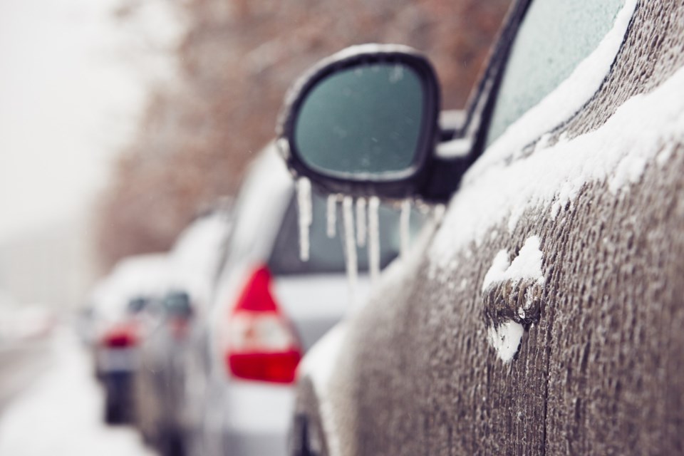
Potent spring ice storm likely.
What:
Significant ice accretion from freezing rain. General ice accretion amounts of 5 to 15 mm, with amounts in excess of 20 mm possible.
Possible snow and ice pellet accumulations of 5 to 15 cm.
Possible utility outages. Slippery surfaces and broken tree branches from ice build-up.
When:
Late Friday through Monday.
Additional information:
Confidence is increasing in a widespread, prolonged freezing rain event over portions of southern and northeastern Ontario. The swath of maximum ice accretion is still uncertain at this point, but confidence is highest for an area from Sault Ste. Marie southeast through Parry Sound to Kingston. Warnings will be issued as the event draws nearer.
A break in the freezing rain is expected for most areas late in the day on Saturday into Saturday night before a second round of freezing rain begins.
Please continue to monitor alerts and forecasts issued by Environment Canada. To report severe weather, send an email to ONstorm@ec.gc.ca or post reports on X using #ONStorm.
**************************