ENVIRONMENT CANADA
**************************
Winter storm warning in effect for:
- Agawa - Lake Superior Park
- Wawa - Pukaskwa Park
- White River - Dubreuilville
Major winter storm to affect the region Thursday into Friday.
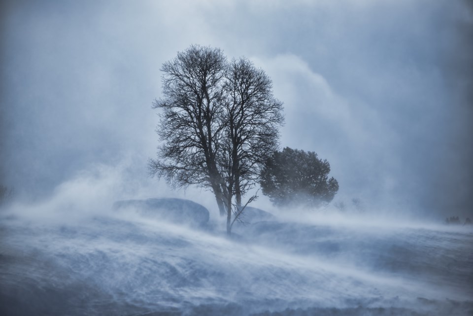
Snow at times heavy is expected to move into the region Thursday and persist into Friday. Total snowfall accumulations of 15 to 30 cm are possible. Strong northeast winds gusting to 60 km/h will develop Thursday night giving locally reduced visibility in blowing snow.
Conditions should improve Friday morning for regions north of Lake Superior and later in the day for regions farther east.
Consider postponing non-essential travel until conditions improve.
Winter storm warnings are issued when multiple types of severe winter weather are expected to occur together.
Please continue to monitor alerts and forecasts issued by Environment Canada. To report severe weather, send an email to ONstorm@canada.ca or tweet reports using #ONStorm.
Special weather statement in effect for:
- Sault Ste. Marie - St. Joseph Island
- Searchmont - Montreal River Harbour - Batchawana Bay
Significant winter storm expected Thursday night into Friday night.
A Colorado low that is tracking towards Ontario will bring a mixed bag of weather to Northeastern Ontario late Thursday through Friday. Regions from Sault Ste. Marie to North Bay will likely see several centimetres of snow before precipitation changes to rain Thursday night. In these regions, there is also a threat of a few hours of freezing rain Thursday night. A freezing rain warning may be required there. Precipitation should change back to snow Friday as much colder air moves in.
Areas farther north, including Gogama, Kirkland Lake and Earlton will likely remain all snow Thursday night with significant accumulations of 10 to 20 cm possible. There is also a chance of a few hours of freezing rain Friday morning. A winter storm warning may be required for these regions later.
Travel may become hazardous from Thursday afternoon into early Saturday morning.
Please continue to monitor alerts and forecasts issued by Environment Canada. To report severe weather, send an email to ONstorm@canada.ca or tweet reports using #ONStorm.
**************************